**Excerpt**
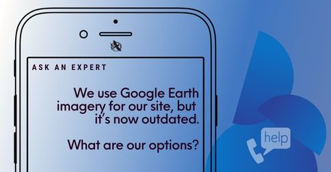
Outdated aerial imagery can create challenges for planning, monitoring, and communicating site conditions. In this Phone-A-Friend feature, Eric highlights practical options for obtaining updated imagery, including the use of Blue Heron’s in-house enterprise-class survey drone program for current, high-resolution site coverage tailored to project needs.