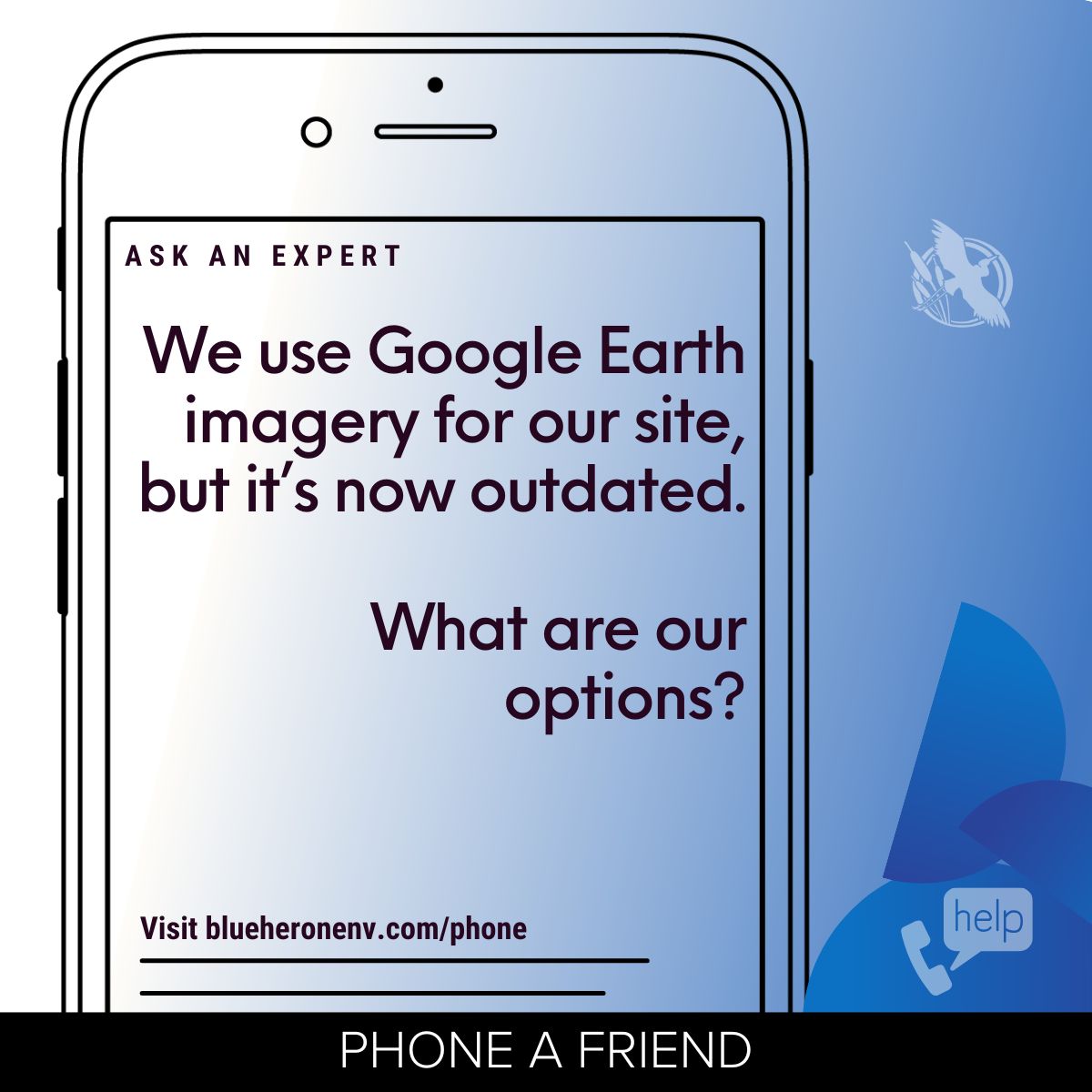
Phone-A-Friend
Site Aerial Imagery
We use Google Earth imagery for
our site, but it’s now outdated.
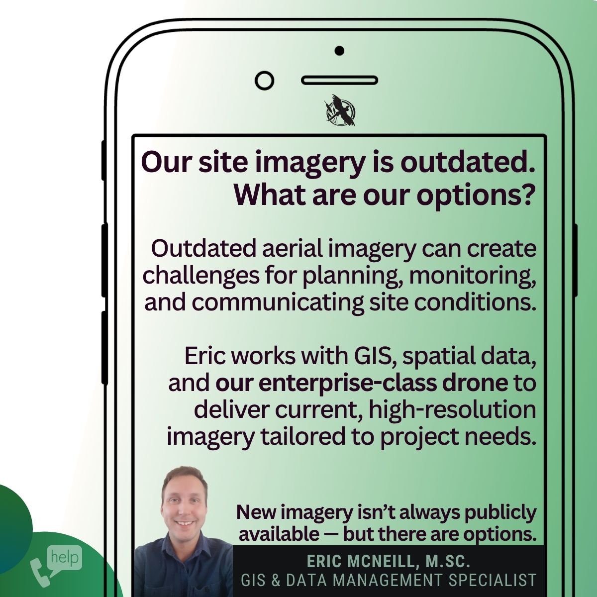
In the course of working with our clients we are sometimes asked:
"What options do we have to replace our site imagery with something more recent?"
In this Phone-A-Friend feature, Eric McNeill discusses practical options for obtaining updated aerial imagery for projects and sites.
While free platforms such as Google Earth and Esri World Imagery can be useful starting points, they are often several years out of date. Eric highlights how Blue Heron’s enterprise-class surveying drone program can provide current, high-resolution imagery tailored to the exact area and level of detail required for a project.
Eric also points us toward upcoming imagery from the Central Ontario Orthophotography Project (COOP), with new regional imagery expected to become available in 2027.
Learn more and connect with our experts:
#PhoneAFriend #AskAnExpert #DroneMapping #GIS #AerialImagery #EnvironmentalManagement #Mining #Timmins #Sudbury #ThunderBay
Do you have a question?
Use the form below to reach out to our experts.